Explore Our Village Clusters
Select a valley to see its remote villages, transport details, homestays, and local food guides.
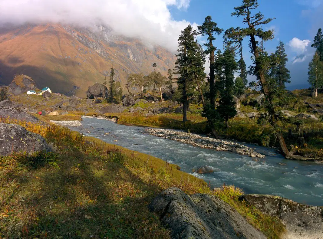
Har Ki Dun Valley
Uttarkashi district — Garhwali & Jaunsari hamlets inside Govind Pashu Vihar National Park.
Osla
2,750 mDrive Dehradun → Sankri (9-10 hrs), then Sankri → Gangad by road; trek ~5 km to Osla.
Village homestays (twin-sharing) — the last inhabited village on the trail.
Garhwali thali — mandua roti, red rice, kaphli, wood-fired local dal.
Gangad
2,350 mRoadhead reachable by taxi from Sankri via Taluka/Dharkot; 20-25 km drive.
GMVN-style guesthouse & simple homestays; common overnight halt.
Rajma-chawal, seasonal greens, tea shops near the road.
Jakhol
~1,900 mOn the Sankri–Netwar road, short drive from Sankri; last ATM/network before is at Mori.
Basic lodges and homestays; gateway village for Har Ki Dun treks.
Simple dhaba fare — dal, rice, roti, seasonal vegetables.
Gangi
~2,300 mMotorable link near Netwar–Sankri belt; short local drive/walk from main road.
Homestays with Jaunsari-style wooden architecture.
Local millet dishes and hearty mountain thalis.
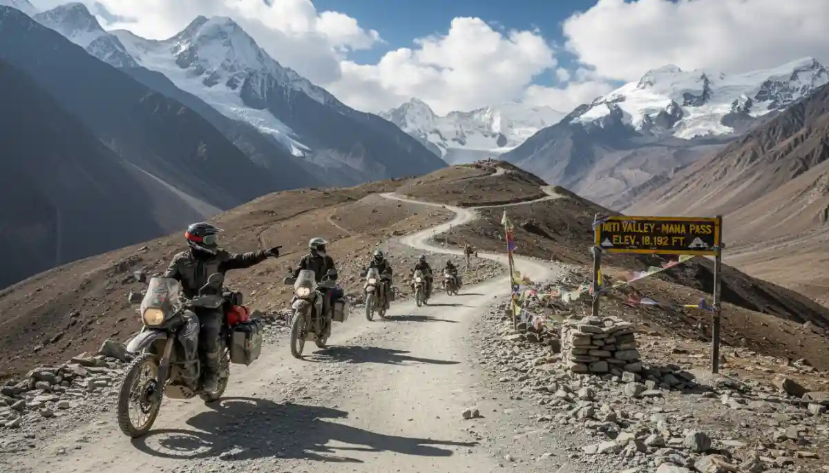
Mana–Niti Valley
Chamoli district — Bhotiya frontier villages beyond Badrinath, Indo-Tibet border belt.
Mana
3,219 m2 km drive/walk from Badrinath Temple — India's last village on this route, well connected by road.
Hotels, cottages & homestays; most developed of the border villages.
Bhotiya dishes, thukpa, momos, plus standard Garhwali fare near Badrinath.
Niti
3,450–3,600 m~85 km from Joshimath via Tapovan–Malari–Bampa–Gamshali; SDM permission required.
Handful of homestays (e.g. Hill View Homestay); no hotels in the interior.
Rajma-chawal, pahadi aloo, daal-chawal. Approx ₹800–1,000/night incl. meals.
Gamshali
3,300–3,600 mLast major stop before Niti; road maintained by BRO, 4x4 vehicles recommended.
Government guest house + rustic Bhotiya homestays; start point for Gamshali Bugyal trek.
Basic wood-fired meals — dal, rice, seasonal greens.
Bampa
~3,000 mNight halt en route Malari–Gamshali on the Joshimath–Niti road.
Rustic stone/tin homestays; Panchnag Temple nearby.
Home-cooked Bhotiya meals; no commercial restaurants available.
Malari
~3,050 mITBP checkpoint — ID checks mandatory; ~61 km from Joshimath.
Basic guesthouses/homestays; historic Indo-Tibet trade route village.
Simple mountain fare; last reliable shops before heading deep into the interior.
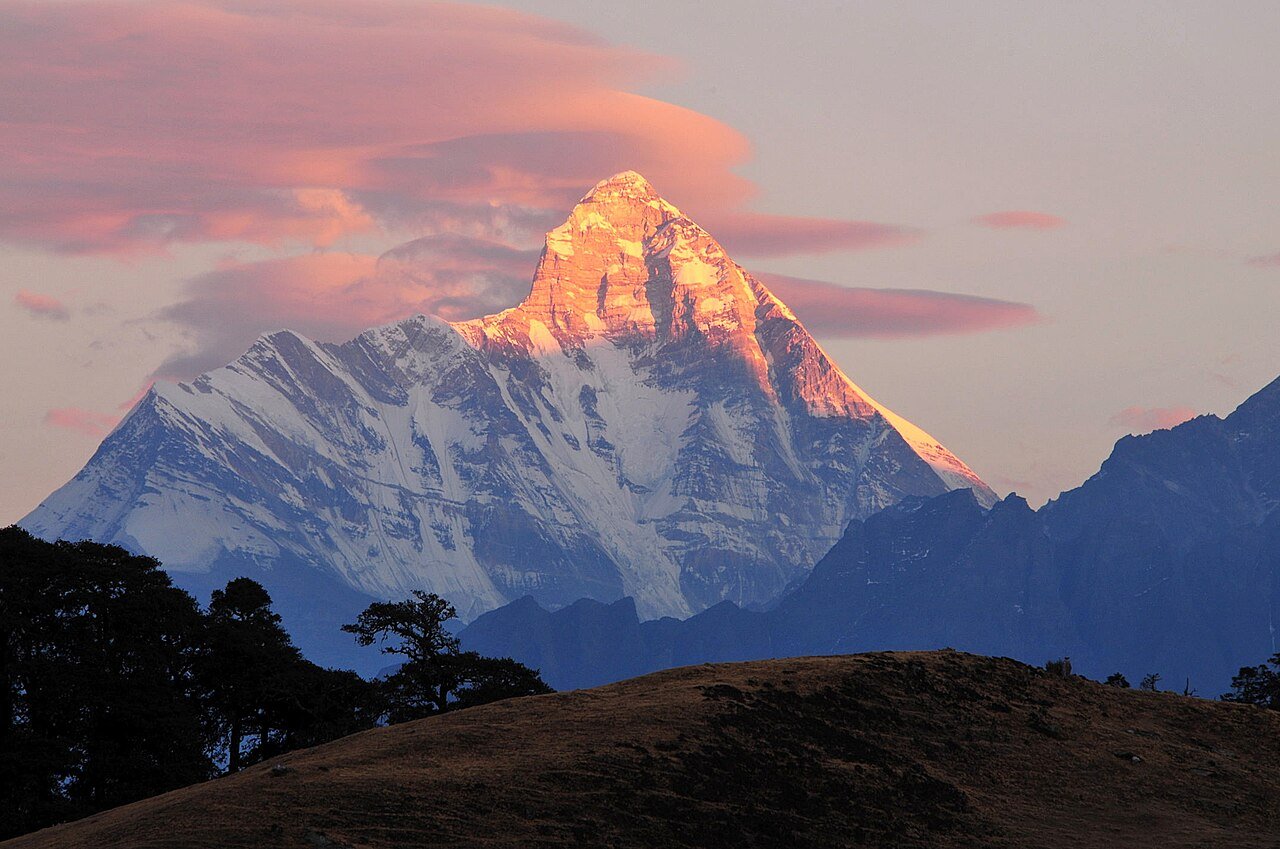
Nanda Devi Rim — Lata & Dronagiri
Chamoli district — gateway villages of the Nanda Devi Biosphere Reserve.
Lata
~2,300 mShort drive (~25 km) from Joshimath via Reni on the Niti Valley road.
Village homestays; serves as the base camp village for Nanda Devi Sanctuary & Bhagwabasa treks.
Garhwali thali — mandua roti, bhatt ki churkani, wood-fired local dal.
Dronagiri
~3,700 mTrek/drive from Joshimath via Dronagiri Parvat viewpoint, roughly midway to Niti.
Simple homestays in this ancient Ramayana-linked village.
Wood-fired mountain meals; carry extra dry provisions as shops are scarce.
Vyas Valley — Adi Kailash & Om Parvat Route
Pithoragarh district — sacred Kali River valley on the Kailash Mansarovar corridor.
Gunji
~3,185 m~165 km / 7 hours by 4x4 from Dharchula via Tawaghat, Baluwakot & multiple ITBP checkposts.
KMVN guesthouses, tented camps, & local homestays; key overnight halt on this route.
Basic Kumaoni thali fare; last well-stocked point before entering the high-altitude valley.
Nabi
~3,185 m~2 km from Gunji on the same road; multiple ID/permit verification checks en route.
Cozy homestays, including community stays. Features rare satellite Wi-Fi access.
Home-cooked local Kumaoni meals. Be sure to visit the Manokamna Temple in the village.
Kuti
~3,600 m18 km off-road rough drive from Gunji (or 17 km trek); last village before Jolingkong/Adi Kailash.
KMVN guest house / basic rustic lodges; the final stay before reaching the sacred basin.
Simple high-altitude meals; hikers are recommended to carry their own snacks and warm drinks.
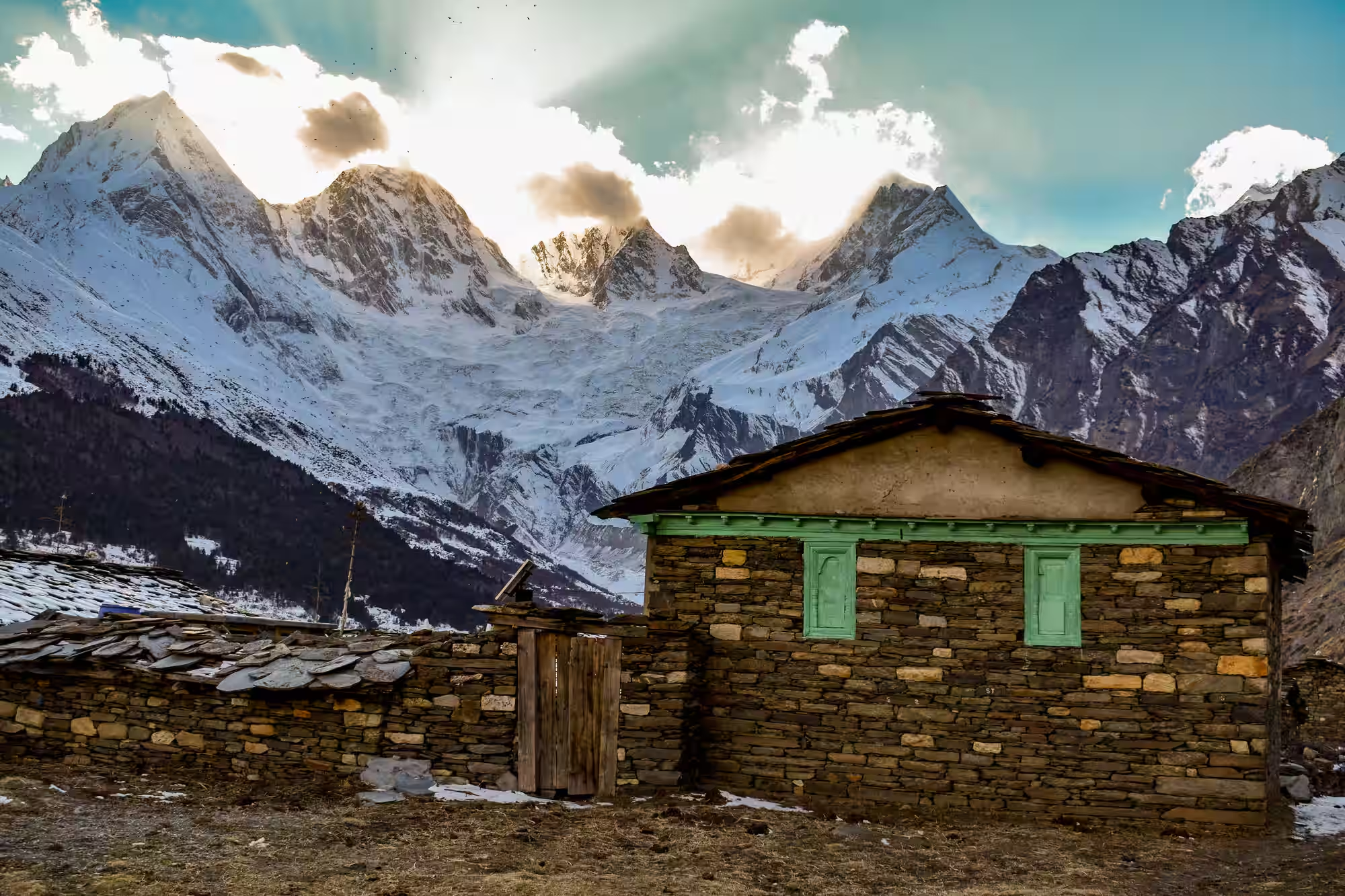
Darma Valley
Pithoragarh district — 12 Shauka tribal villages leading to Panchachuli Base Camp.
Darma Belt Villages
2,500–3,960 mDharchula → Tawaghat → Sobla by road, then trek/4x4 through Dar, Duktu & Dantu towards Panchachuli.
Homestays in the 12 tribal villages along the trek; KMVN options are available in larger halts.
Rang/Shauka community meals — dal, rice, local organic greens, and traditional butter tea.
Sipu
~2,900 mSituated on the Darma Valley trekking route between Sobla and the upper villages.
Basic village homestay accommodation with hospitable tribal hosts.
Simple home-cooked Kumaoni-Shauka local fare.
Nagling
2,743 m11 km / 5-6 hours descent trek from Duktu on the Darma/Panchachuli base camp route.
Adventure campsites and homestays; common overnight halt on the return leg of the trek.
Standard trail meals — hot dal-rice, seasonal vegetables, and warm soups.
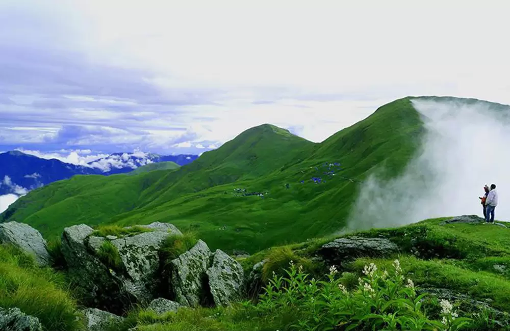
Deodi–Roopkund Valley
Chamoli district — remote deodar-forest hamlets on the Roopkund & Ali Bugyal trekking routes.
Kalap
2,290 m11 km trek from Netwar through virgin deodar & pine forests, passing the scenic Rau-gad waterfall.
Remote, serene village homestays nestled amid dense forests.
Traditional Garhwali meals. Deeply connected to Mahabharata-linked local culture.
Wan
~2,500 mRoadhead and trekhead village on the Gwaldam–Roopkund approach route.
Homestays and forest rest house; serves as the common Roopkund trek base camp.
Simple mountain meals — hot dal, rice, and fresh local vegetables.
Pawani
~2,350 mAlong the Deodi valley trail, connected by hiking trek from nearby roadheads.
Basic local village homestays with warm family hosts.
Home-cooked wholesome Garhwali thali fare.
Sutol
~1,950 mLocated near the Sutol–Roopkund–Wan trail in Chamoli district, close to the Nandakini valley.
Village homestays; peaceful, low-altitude halt before climbing to higher altitude camps.
Local organic produce-based meals and seasonal fresh mountain fruits.
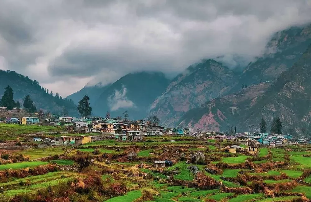
Urgam Valley — Land of Kalpeshwar Mahadev
Chamoli district — home of the fifth Panch Kedar temple, open year-round, near Joshimath.
Urgam Village
2,100 mRishikesh/Haridwar/Dehradun → Helang by bus/taxi (7-8 hrs), then shared local taxi + short trek (~2–3.5 km) into Urgam Valley.
Homestays (including beautifully restored traditional Himalayan mud-house eco-stays), GMVN rest house, and lodges in Devgram.
Wholesome organic local meals — fresh farm vegetables, wheat/barley/potato dishes, and home-cooked Garhwali thalis.
Why Pilgrims & Tourists Visit Urgam:
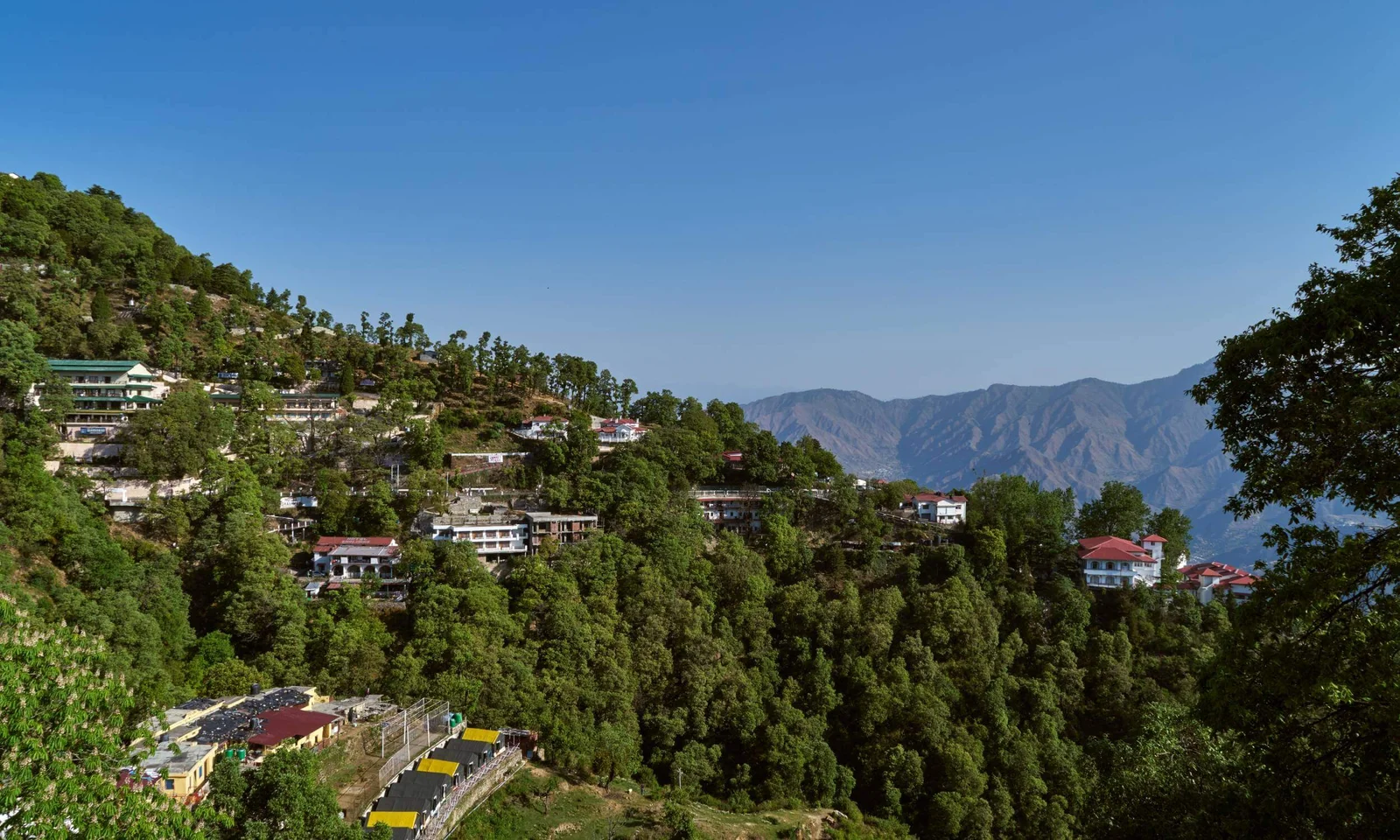
Mussoorie & Dhanaulti Escape
Dehradun & Tehri Garhwal districts — scenic hill stations, quiet pine forests, and exciting mountain viewpoints.
Mussoorie (Queen of Hills)
2,005 m1.5 hours drive from Dehradun (35 km) via smooth motorable highways. Local taxis and cabs are easily available.
Premium luxury hotels, mountain cottages, heritage stays, and budget guesthouses near Mall Road.
Garhwali delicacies, multi-cuisine dining, Mall Road cafes, street momos, and traditional local sweets.
Dhanaulti
2,286 m1.5 hours drive from Mussoorie (30 km) via a scenic, quiet forest route shaded by tall oaks and deodars.
Charming eco-huts, nature resorts, camping tents, and cozy hillside homestays.
Simple farm-fresh pahadi dal, local millet rotis, organic greens, and maggi at roadside stalls.
Landour Cantt.
2,286 m5 km steep drive/walk from Mussoorie town center (Picture Palace). Peace zone with restricted heavy traffic.
Quaint colonial-era cottages, cozy boutique guest houses, and peaceful forest homestays.
Famous Landour bakery goods, pancakes, fresh cheese, organic jams, and colonial-style teas.